Last updated on .
Tel Rumeida is the oldest part of the city of Hebron, Palestine. It sits on a hill to the west of the Old City, and contains both an Israeli settlement and Palestinian homes.
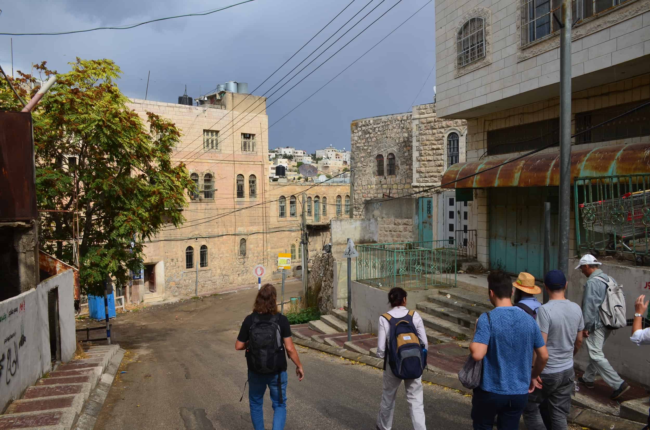
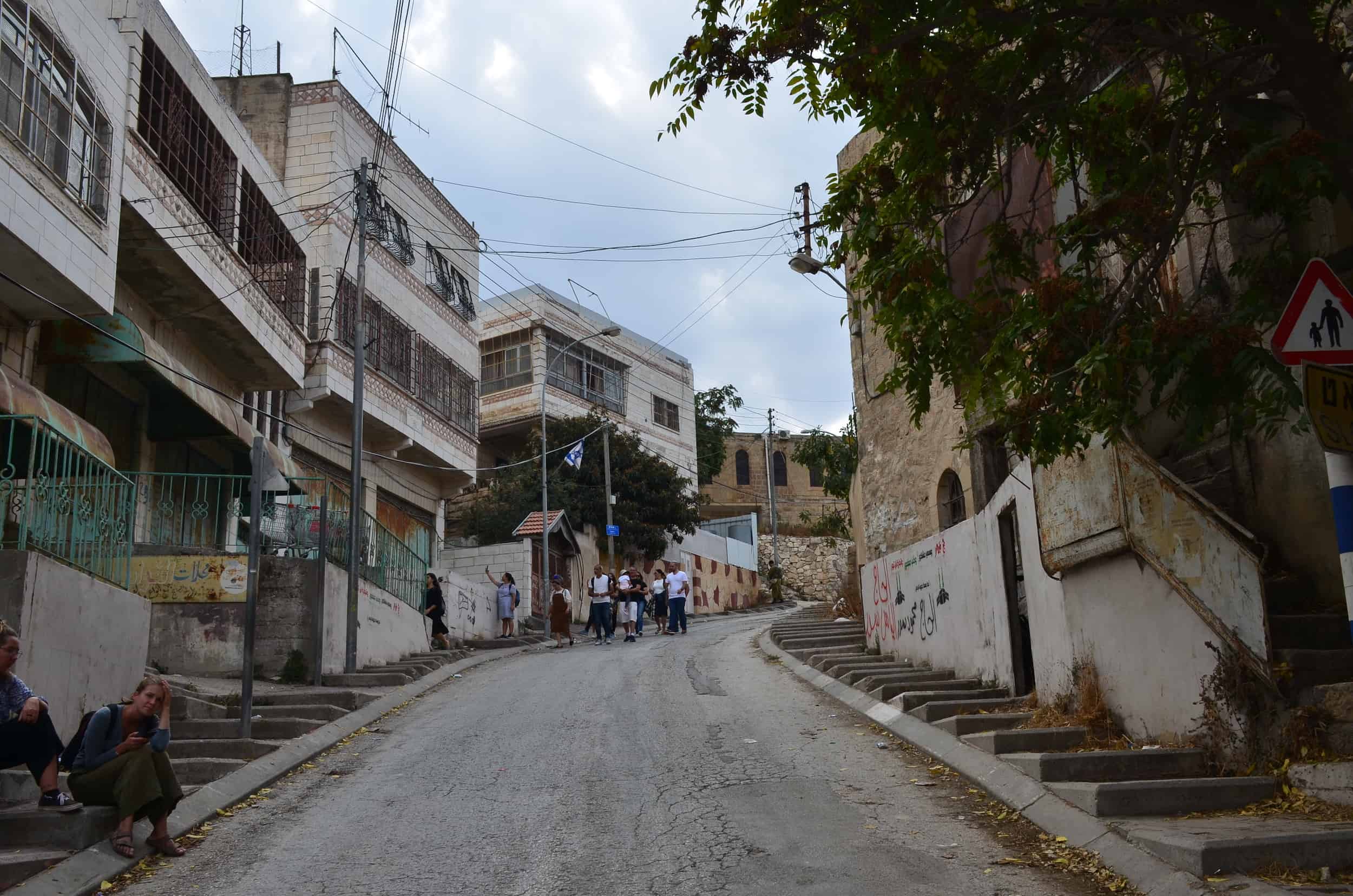
We walked up Tel Rumeida after visiting Beit Hadassah. At the end of al-Shuhada Street, the road curves to the left and runs uphill past closed Palestinian shops.

At the next intersection, turning to the left and further uphill is the Tel Rumeida settlement. Our guide, Eliyahu, pointed out the spot at the intersection where a Palestinian who had tried to stab a soldier was shot and killed while lying wounded on the ground.
Tel Hebron
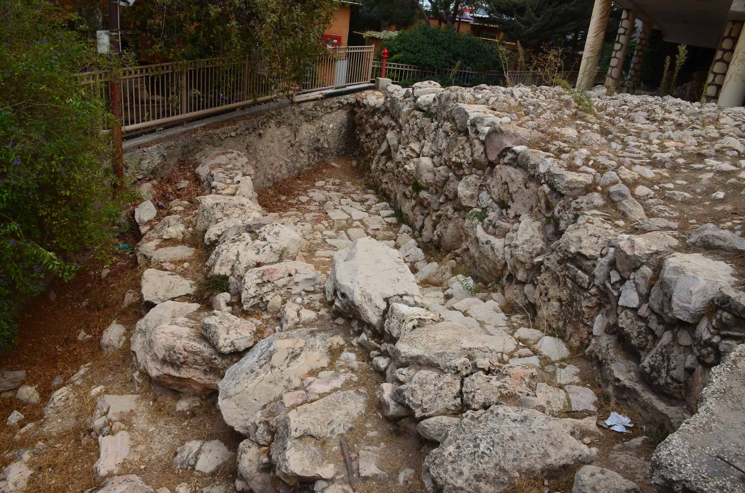
Near the top, we reached part of the Tel Hebron archaeological site. It contained an ancient road and wall dating back to the 18th to 16th centuries BC. There are other sections of the archaeological park that we didn’t visit.
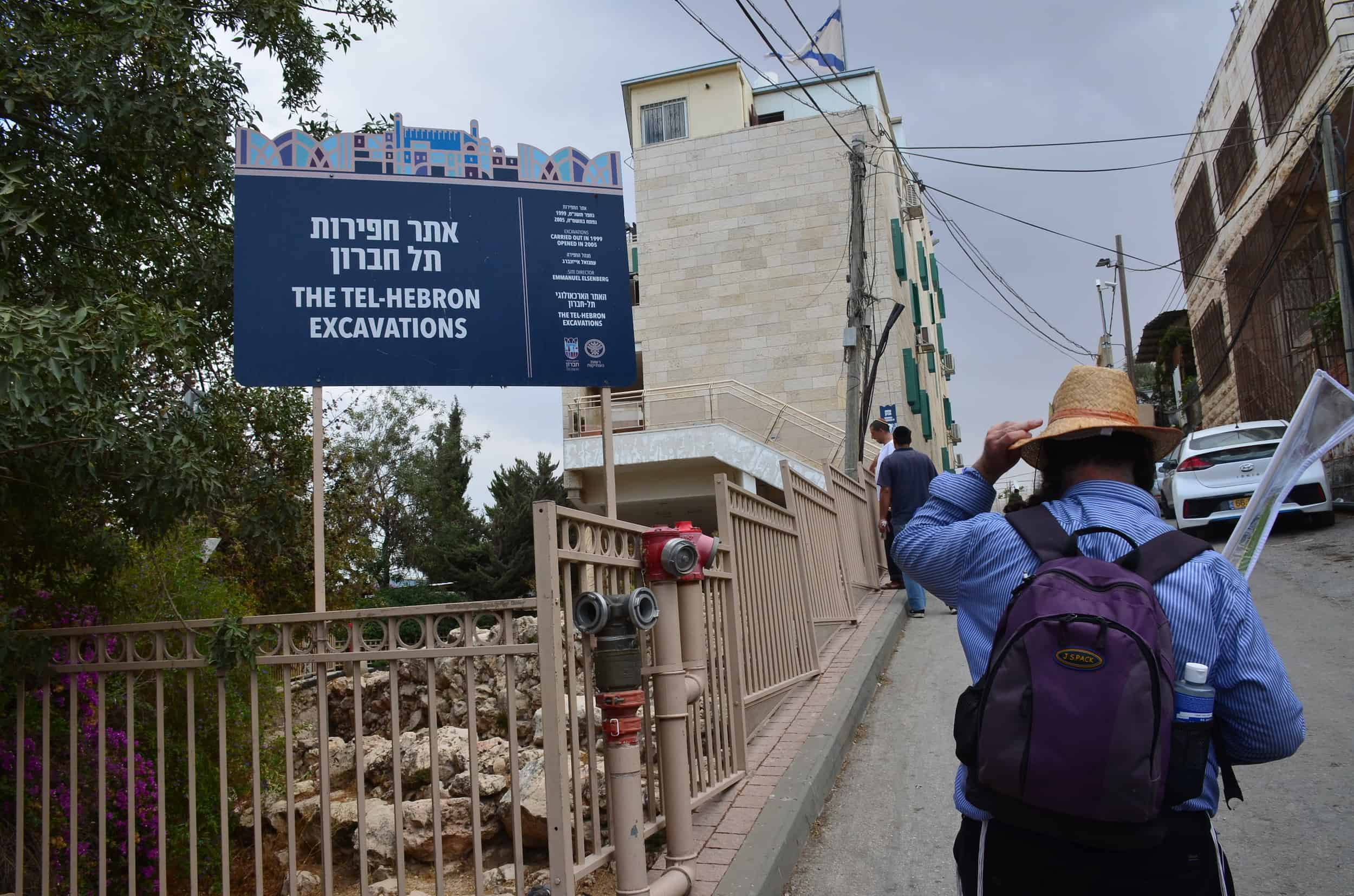
Excavations occurred under American archaeologist Philip C. Hammond from 1964 to 1966; the Judean Hill Country Expedition from 1984 to 1986; and the Israel Antiquities Authority and Ariel University in 2014. The excavations under Israeli rule have been controversial. Opponents of the archaeological park state that its sole purpose is to assert settler dominance over Palestinian land.
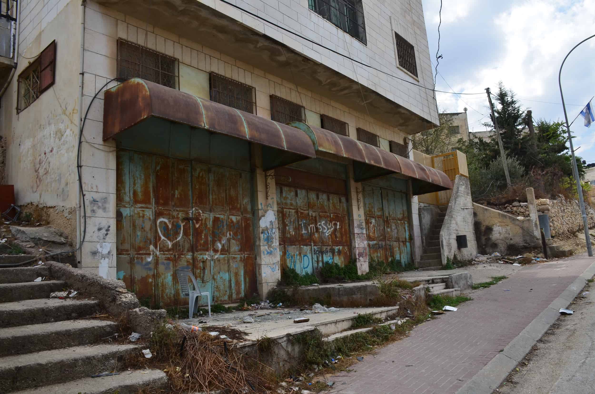
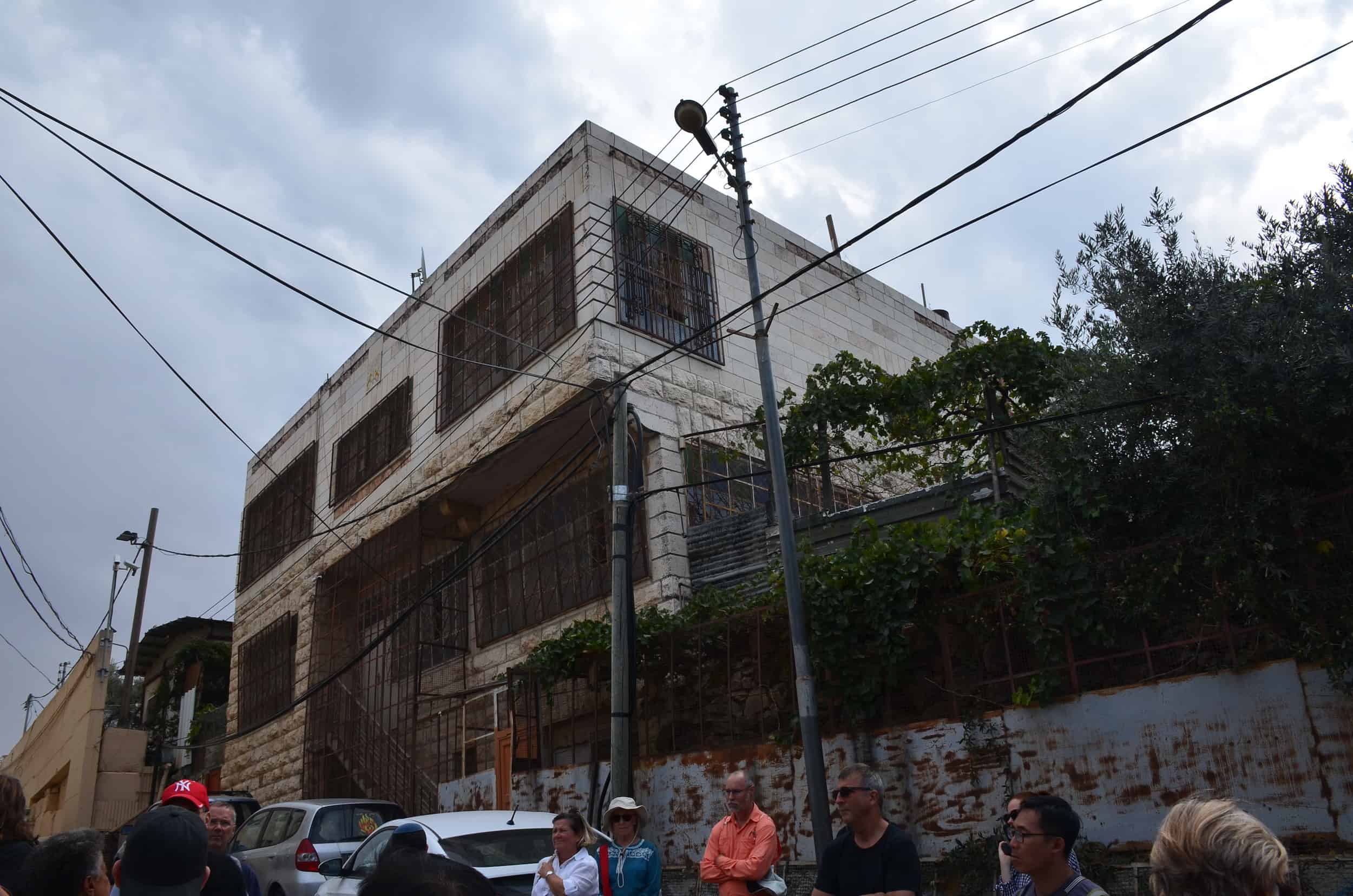
Palestinian Home
Across the street from the archaeological site, Eliyahu showed us a Palestinian home with cages around the entrance and windows. He said the cages were added after the owner flew a large Palestinian flag following the murder of his Jewish neighbor, Rabbi Shlomo Ra’anan, on August 21, 1998.
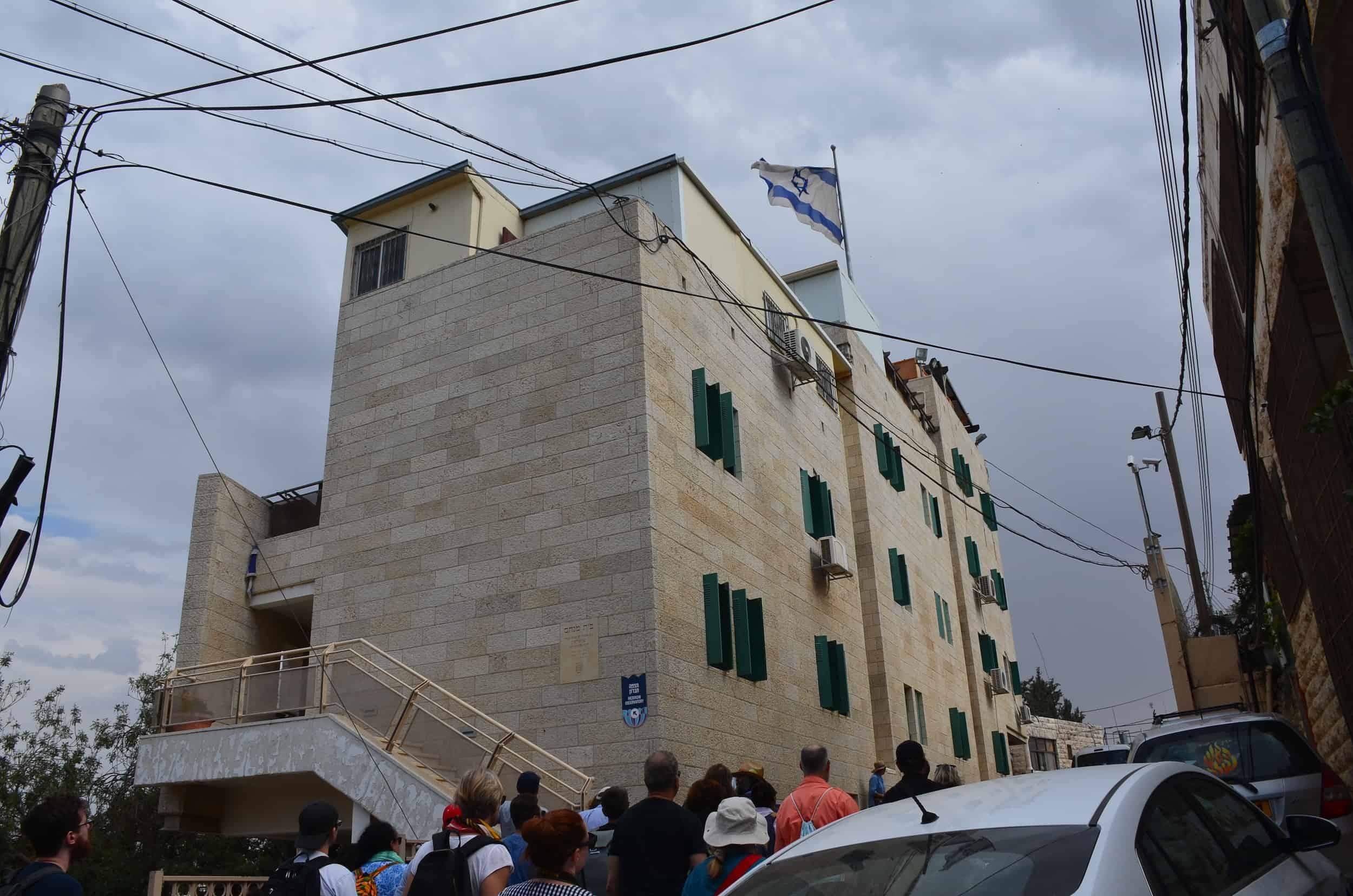
Tel Rumeida
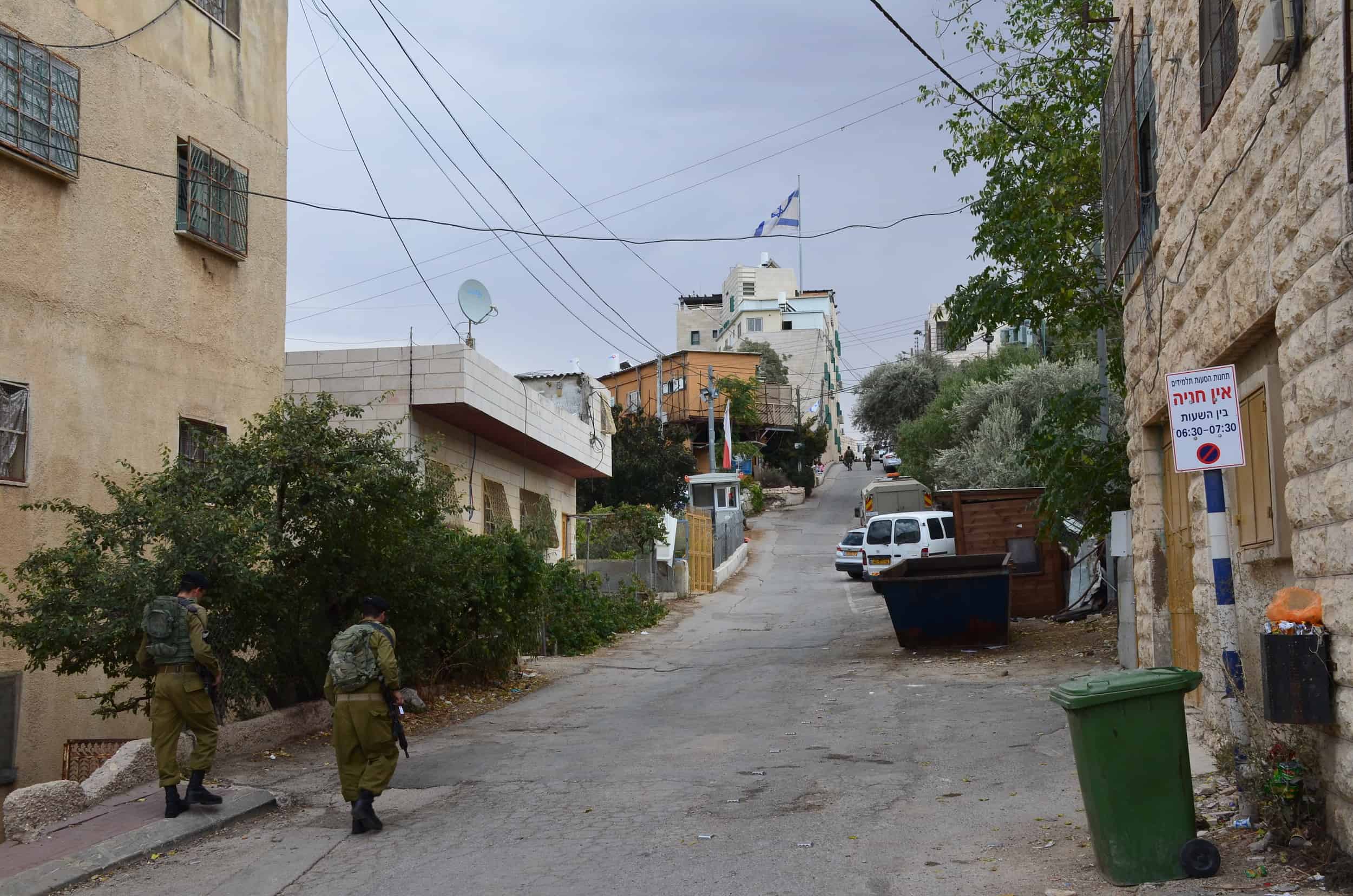
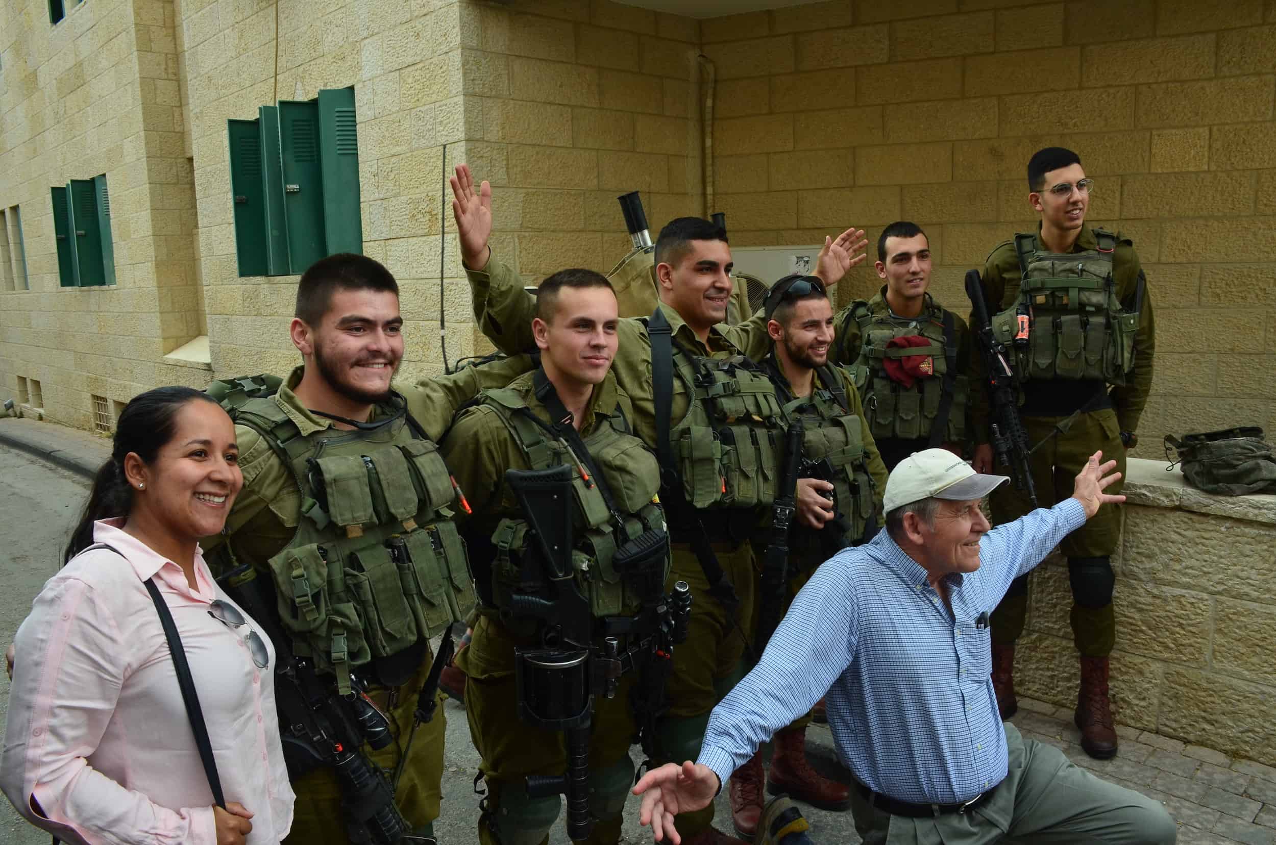
Next, we visited the Tel Rumeida settlement, which was established in 1984 with six portable caravans. The Israeli government approved a 16 unit building in 2001, and the land around it is being slowly taken over. Tel Rumeida is one of the most contentious areas in the city and Palestinians are routinely stopped and searched.
Outside the building, we encountered some Israeli soldiers patrolling the area. One of them was from Colombia. They greeted us, smiled, and posed for pictures.
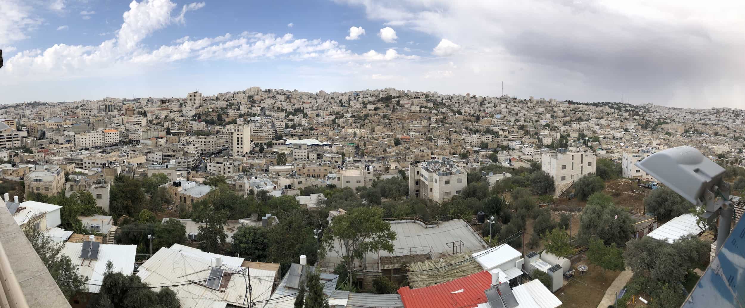
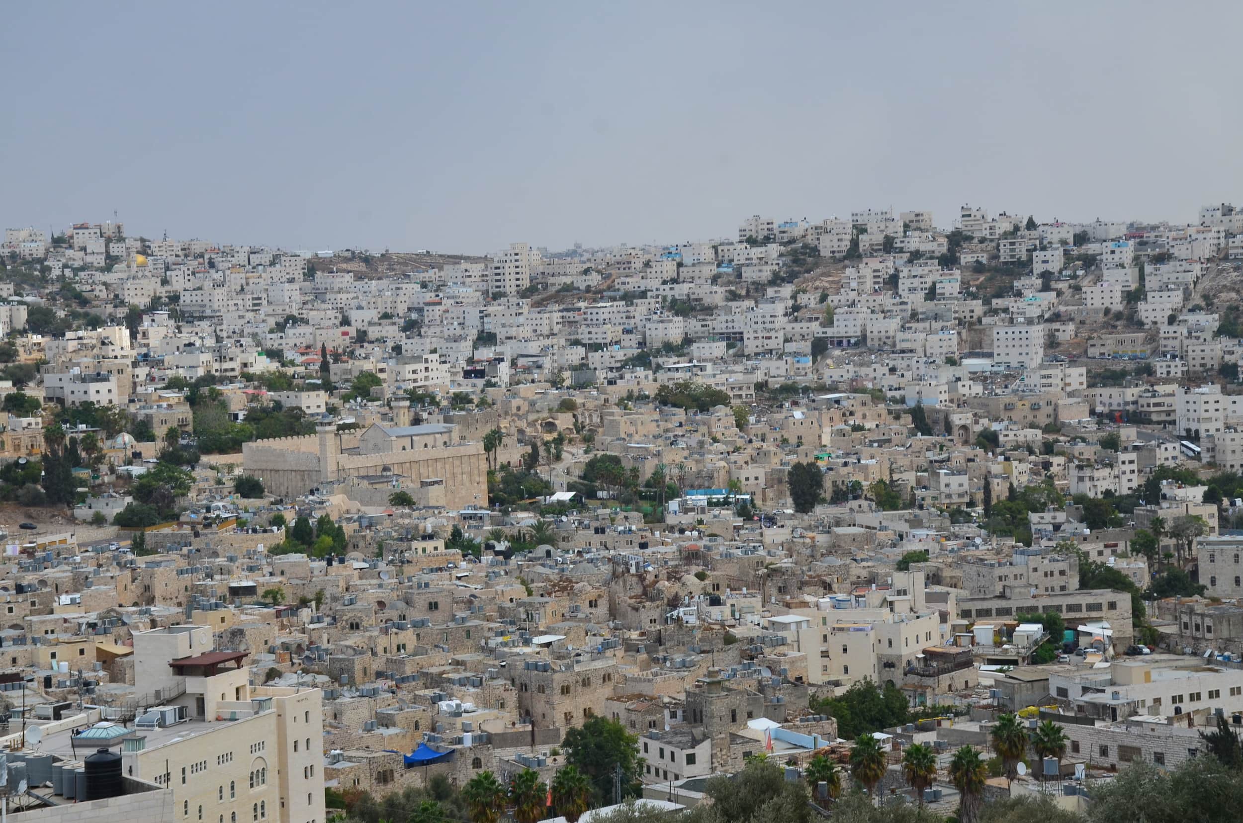
Hebron Observatory
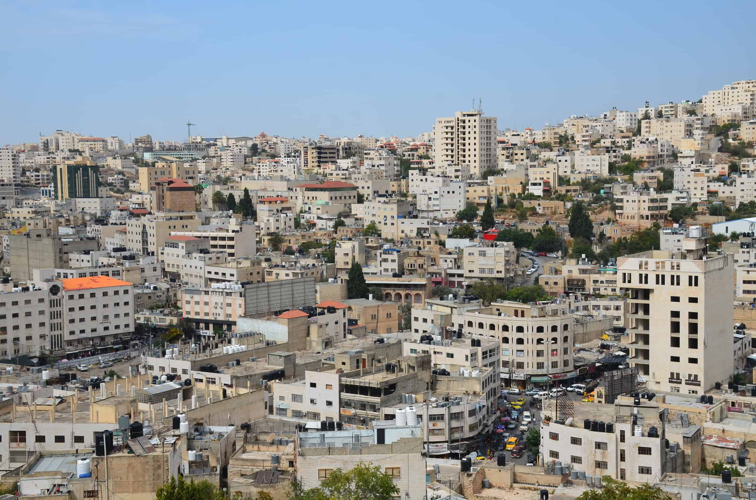
We climbed the stairs to the rooftop terrace of the building, which houses the Hebron Observatory. There were fantastic panoramic views of the city, and an interpretive panel let us know what to look out for.
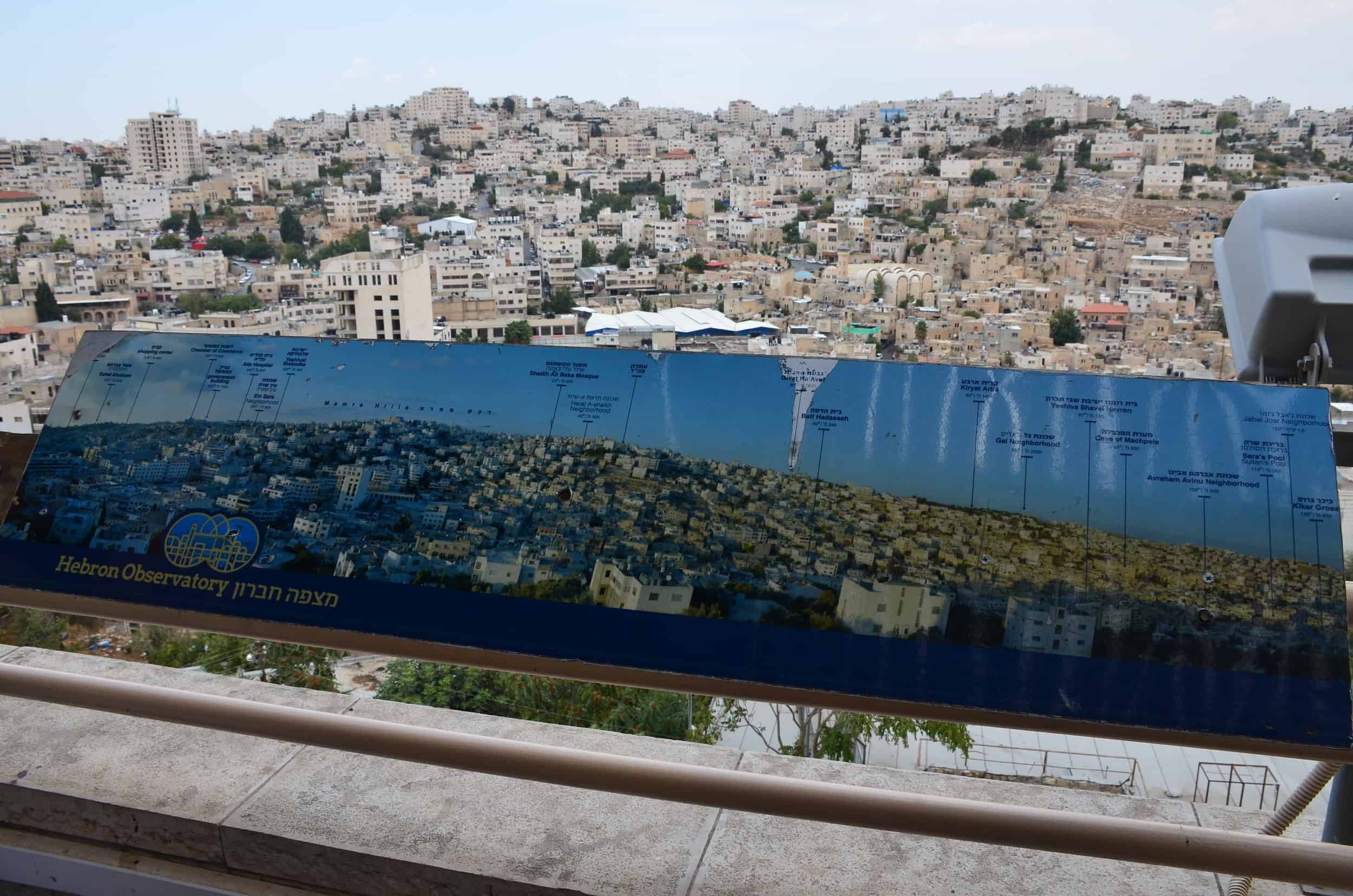

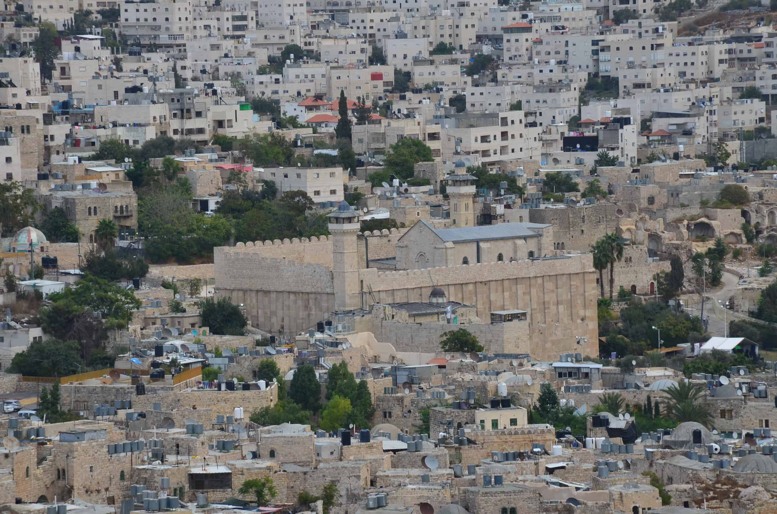
Looking to the east, we could see the Old City as well as the Tomb of the Patriarchs.
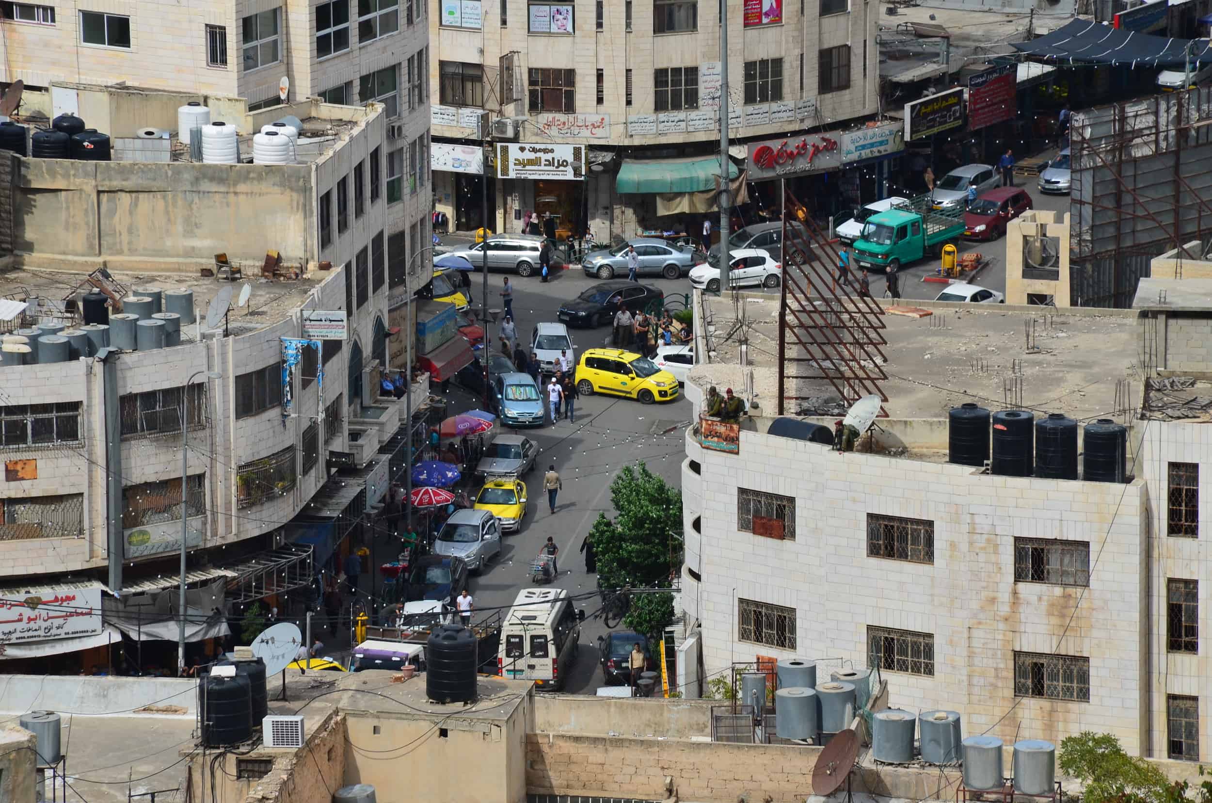
Directly to the north, we saw the heart of the Palestinian area. Looking closely, we were able to spot Israeli soldiers on the rooftops of some buildings.
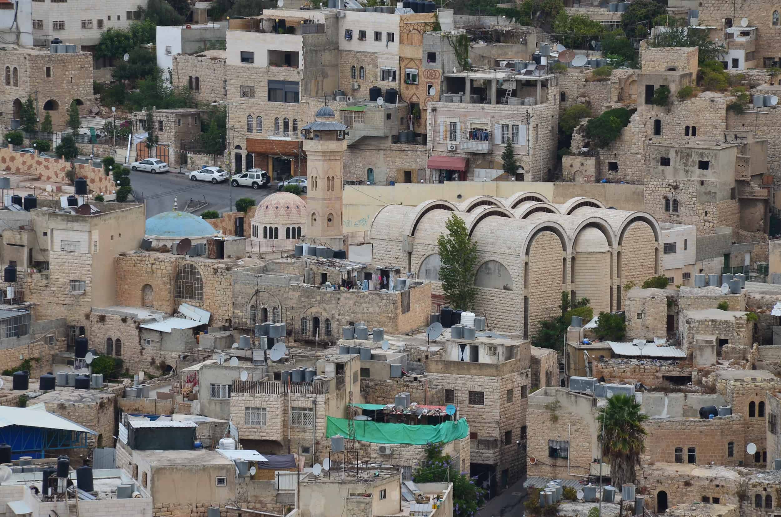
North of that, we could see the Sheikh Ali al-Bakka Mosque. It was built in 1282 by Husam ad-Din Turuntay, a representative of the Bahriyya Mamluk sultan in Jerusalem. It’s named after Sheikh Ali al-Bakka, a Sufi religious leader from Iraq who lived in Hebron. The original mosque was mostly demolished except for the minaret. The current mosque was built in 1978 incorporating some of its remains.
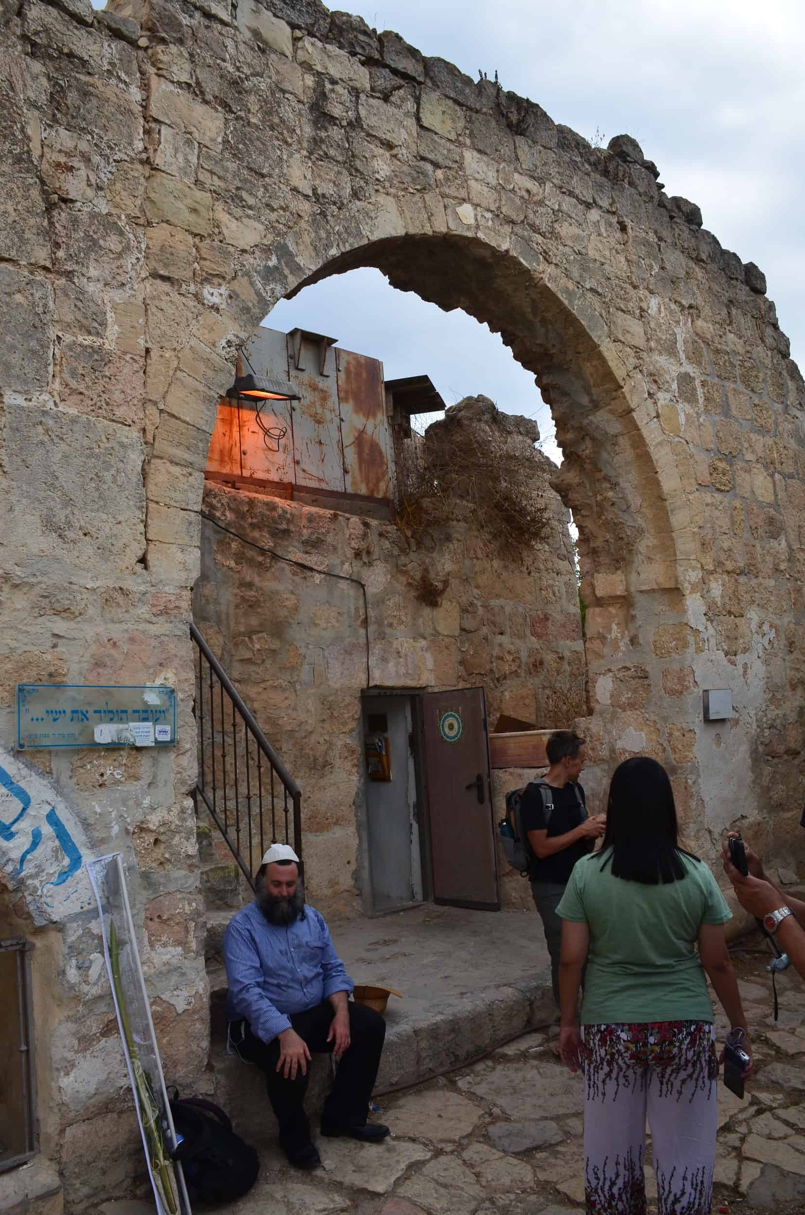
Deir al-Arba’een
Next, we walked further up the hill to the Deir al-Arba’een complex. It’s a ruined building and the most important ancient structure on Tel Rumeida. It’s reported that Muslim pilgrims would visit the site since at least the 15th century.
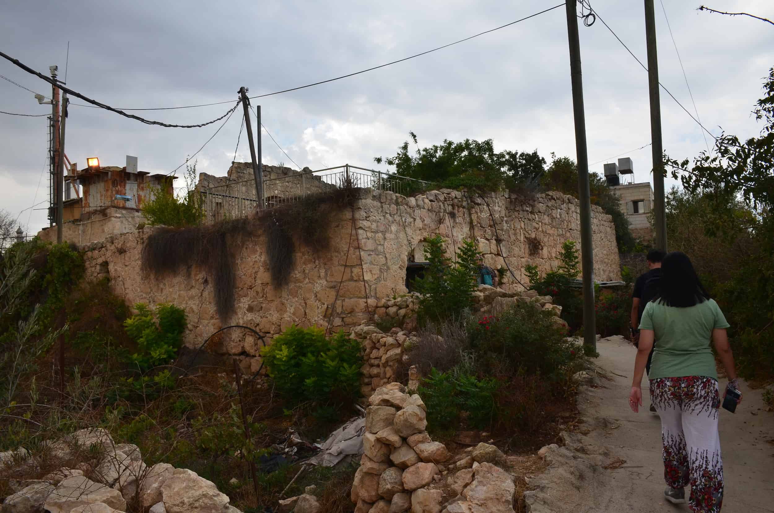
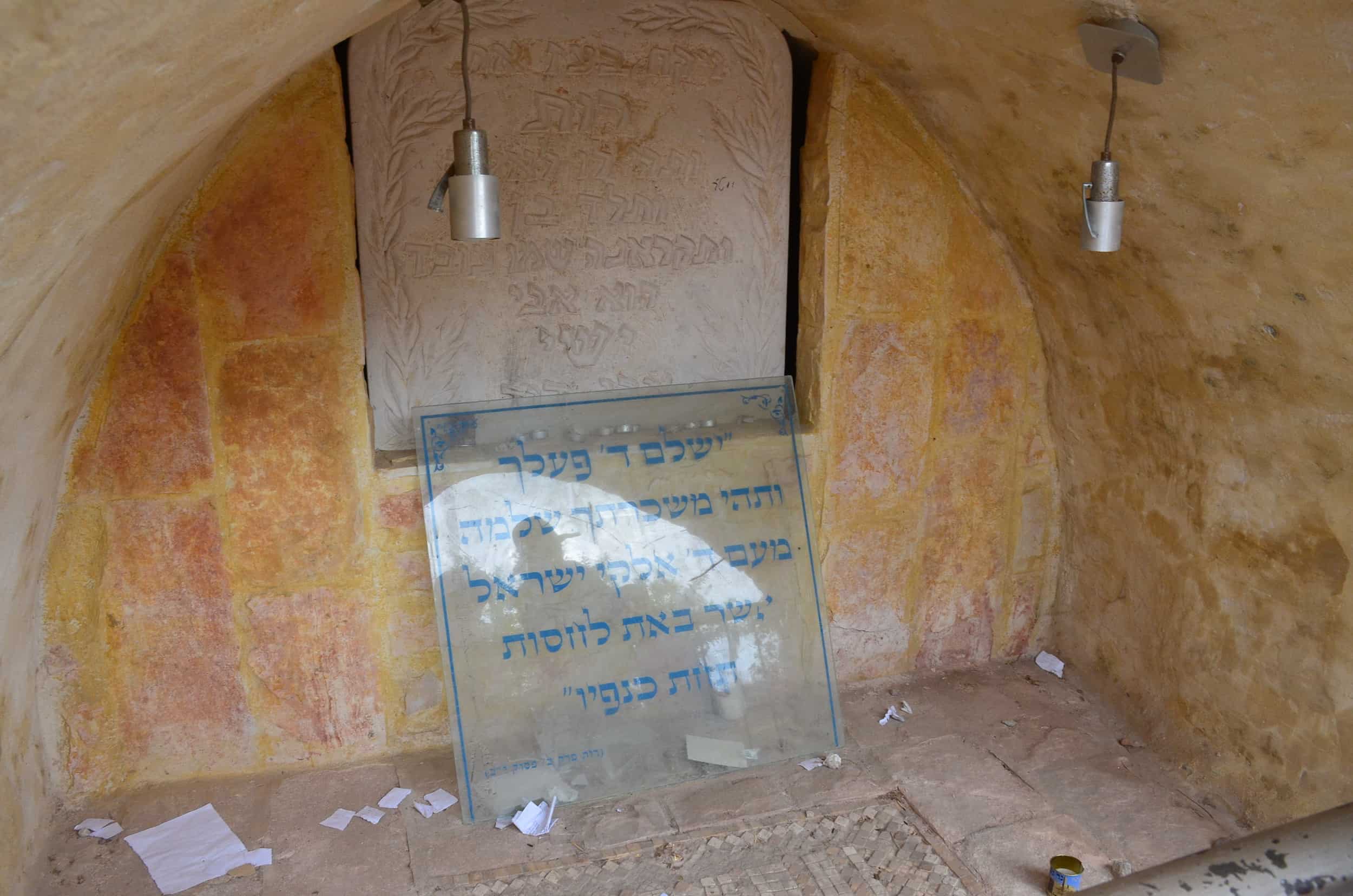
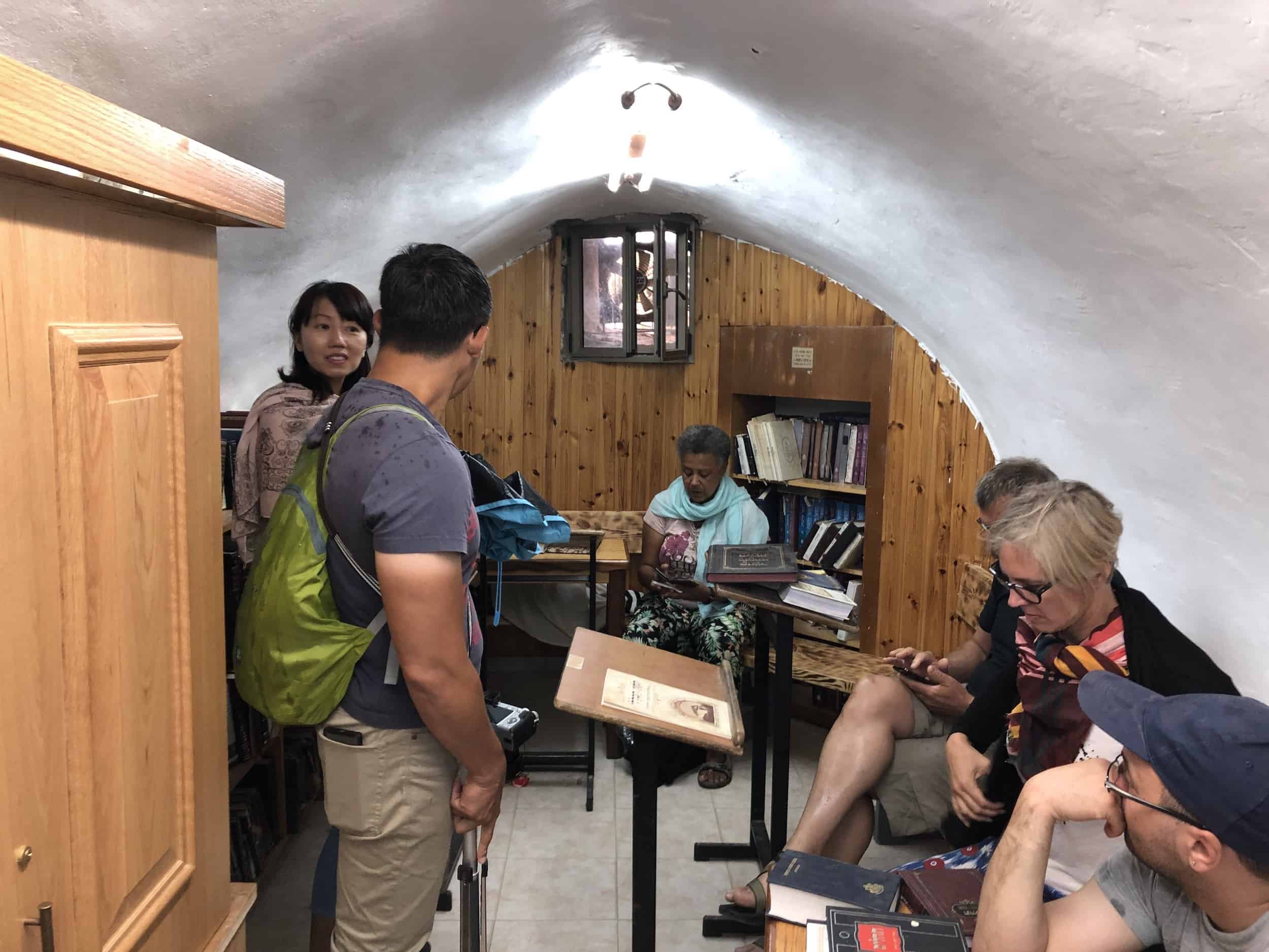
According to Jewish tradition, the complex contains the Tomb of Jesse and Ruth. Jesse was the father of King David and Ruth was his great-grandmother. There’s a tiny synagogue next to the tomb. Other ruined buildings in the complex feature vaulted rooms.
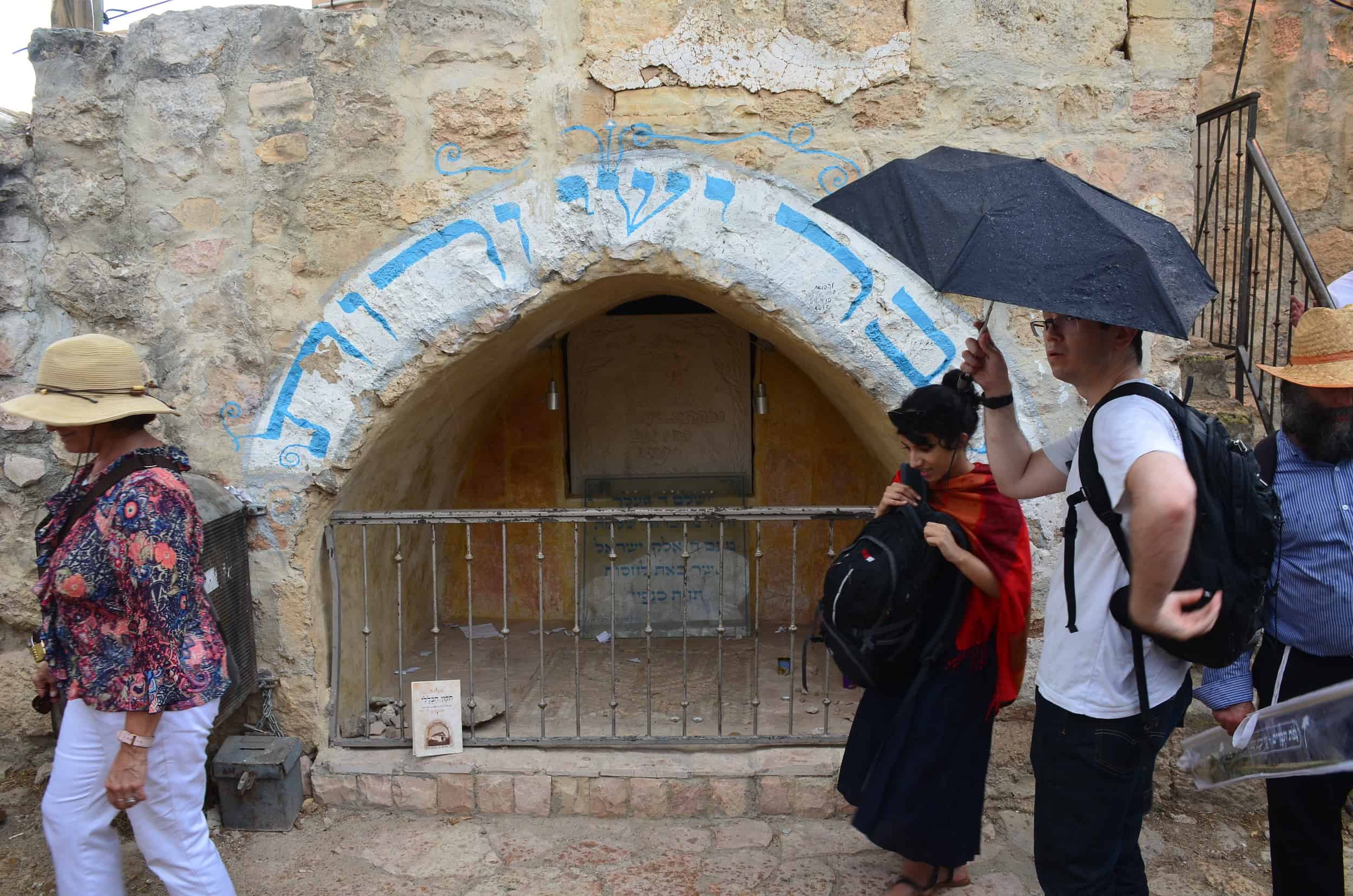

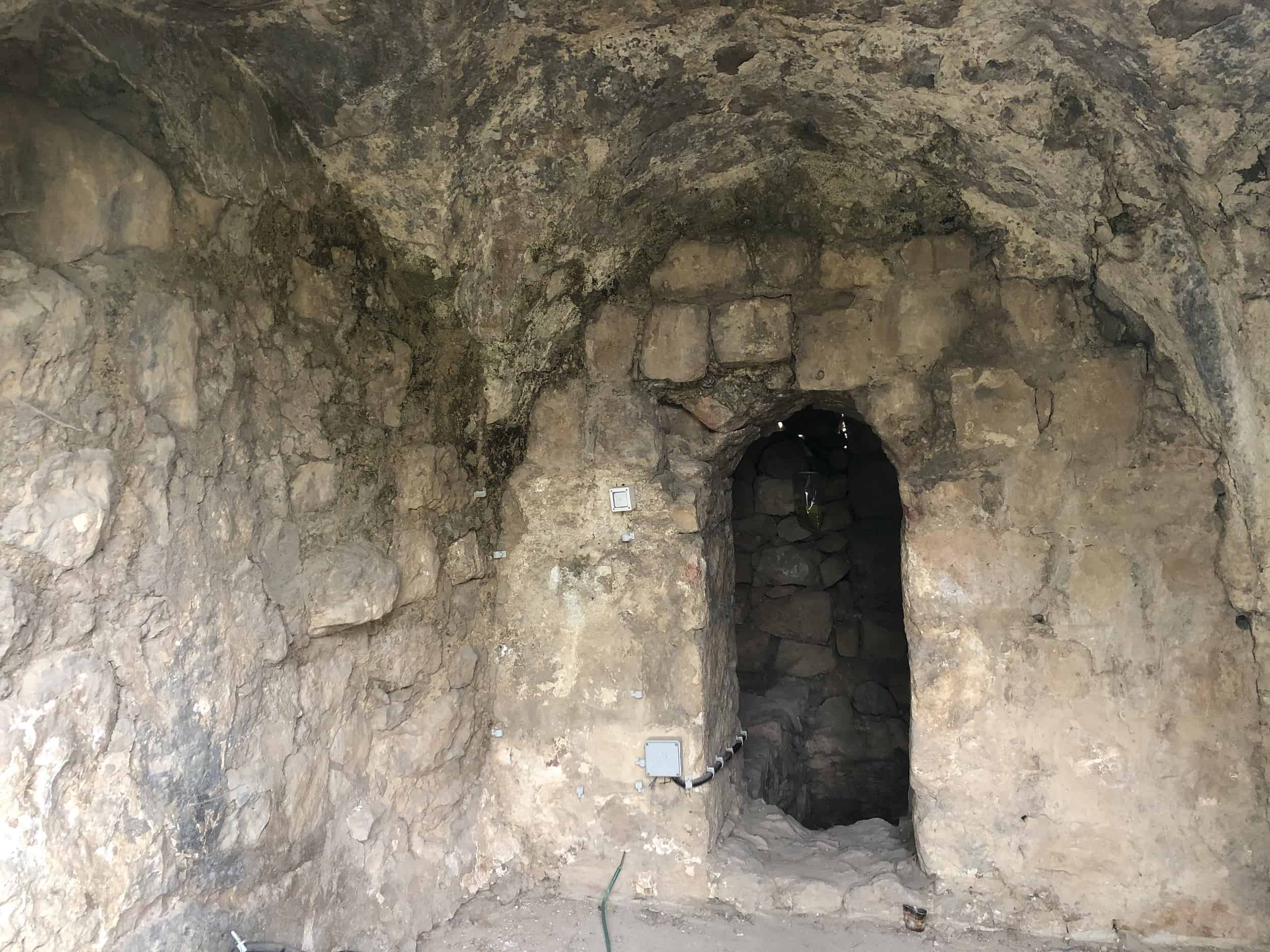
The site was excavated in the 1970s by Israeli Zionist activist Ben Zion Tavger (1930-1983) and opened to the public. It was renovated in 2009. Muslims have been banned from entering the site for security reasons since 1994.

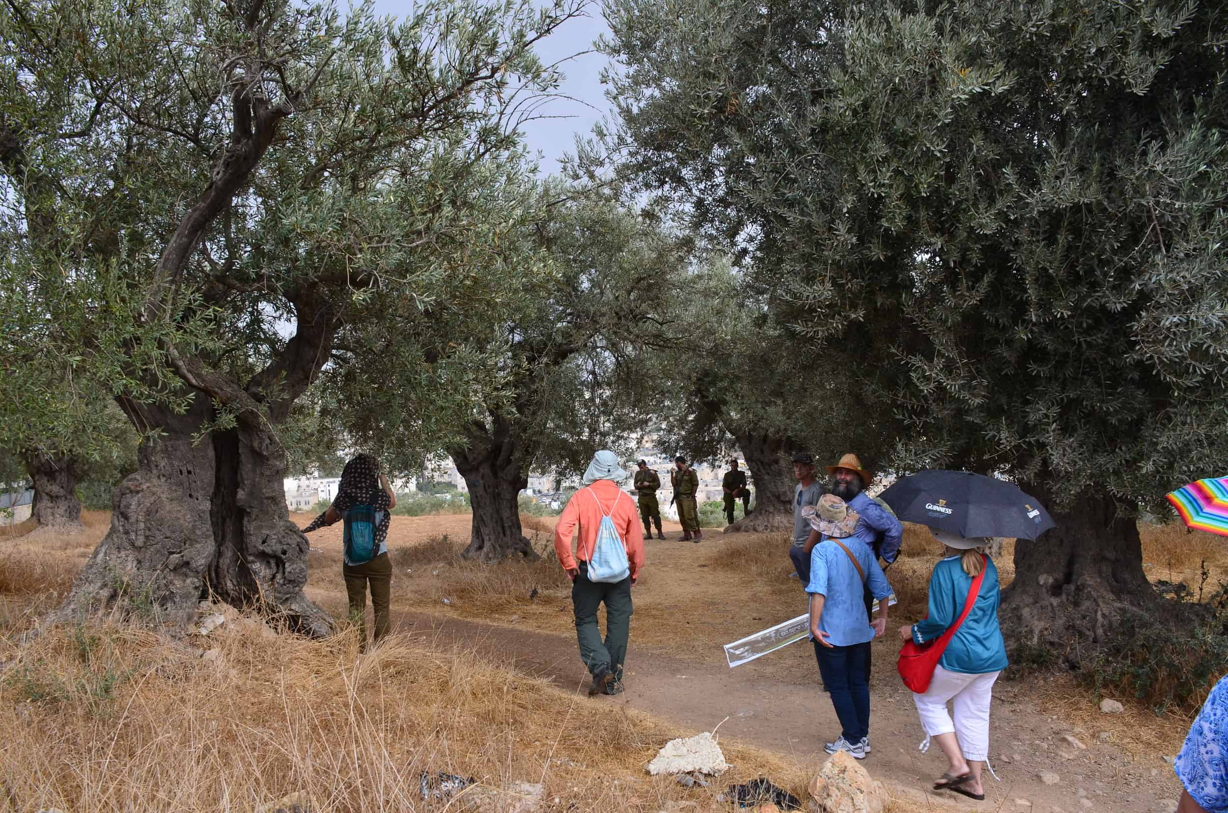
On to the Checkpoint
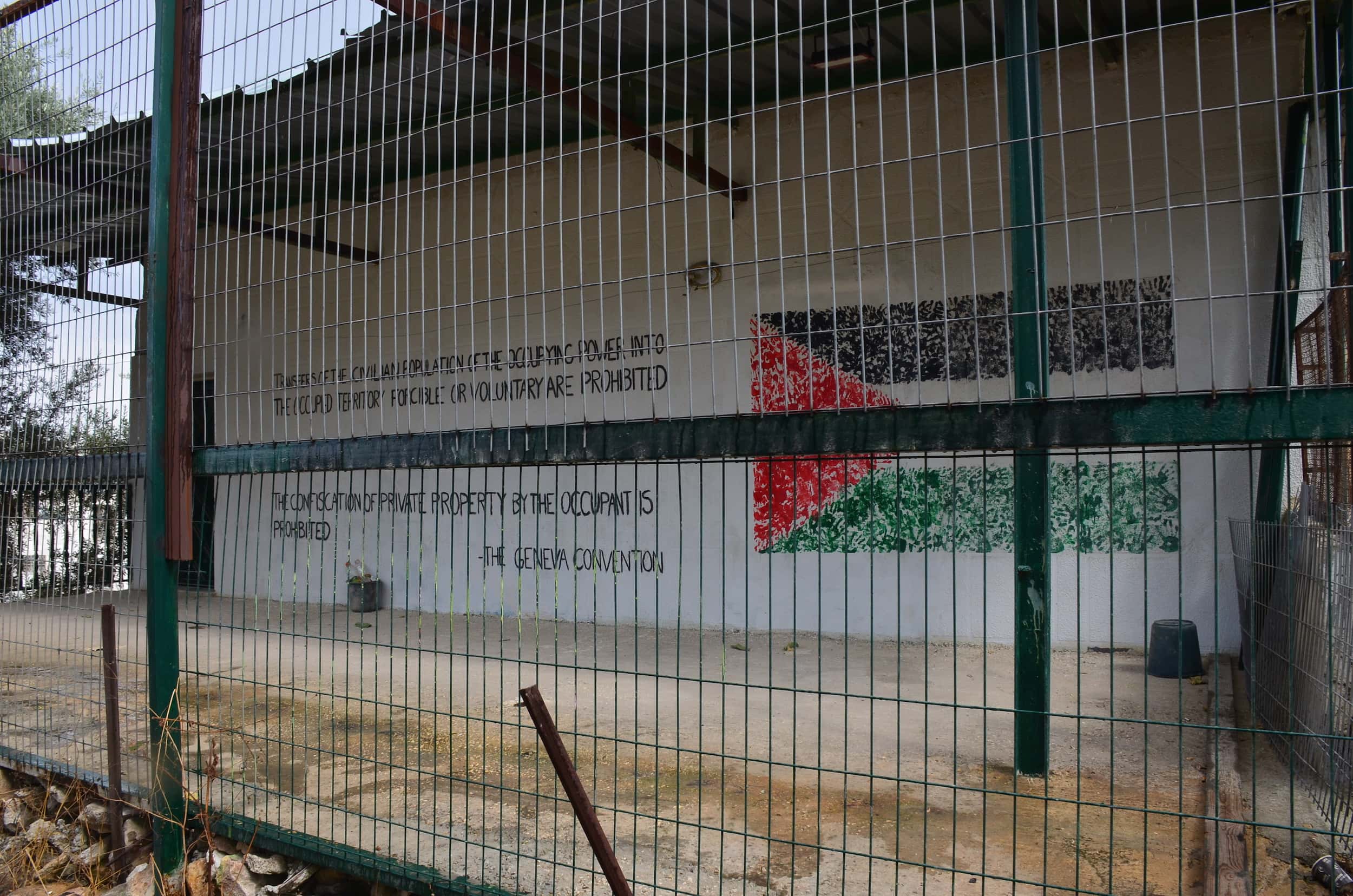
From there, we walked through an olive grove patrolled by Israeli soldiers and past a building owned by Palestinian activists.
We then walked back down to the road past the Tel Rumeida settlement, and on to the checkpoint to enter the Palestinian section of H2 in the divided city of Hebron.